Innovation
- Home
- Innovation
- 22 March 2024
- Kath Hockly
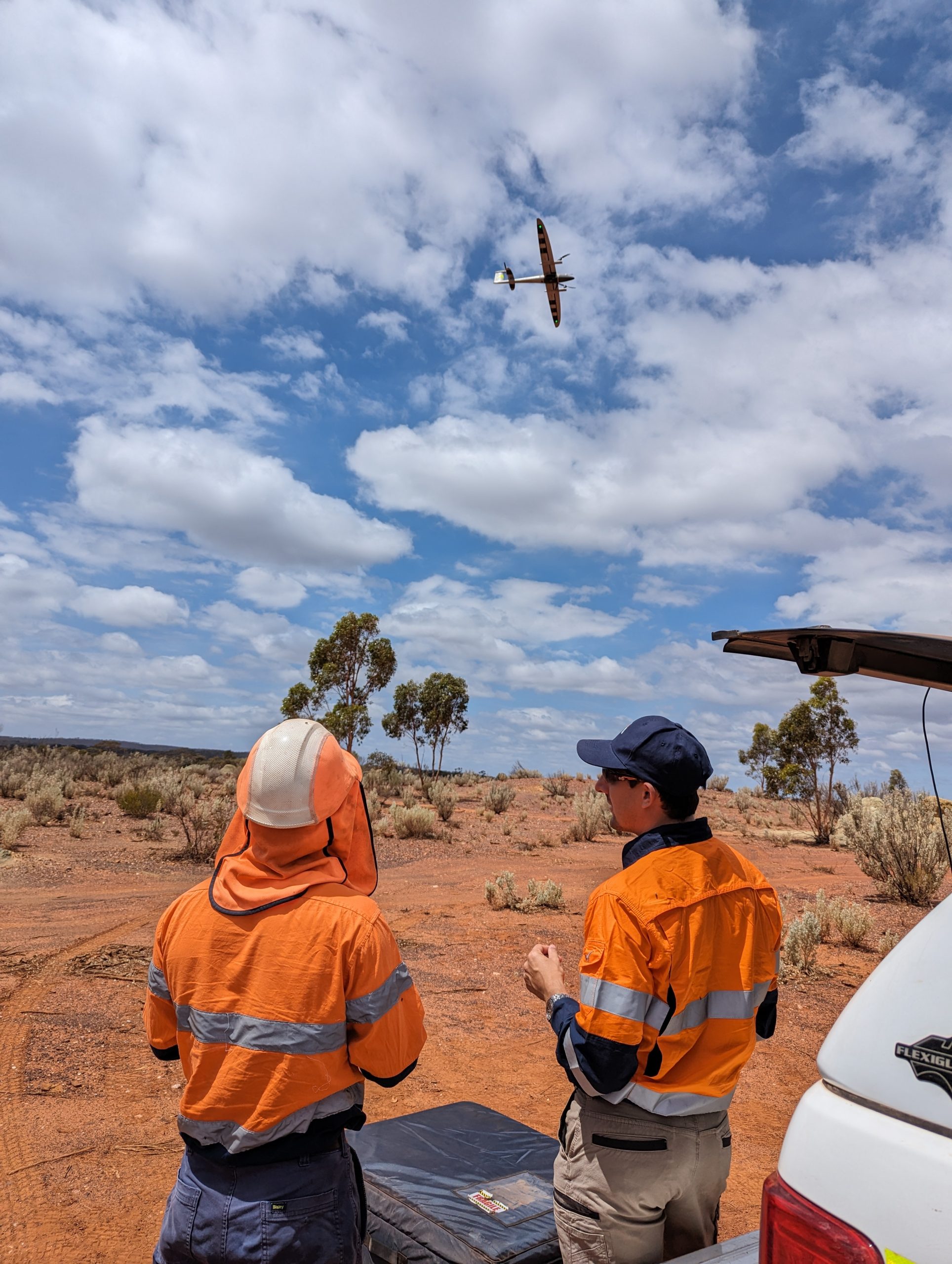
Is it a bird or a hobby plane?
No, it’s our Quantum Trinity PRO VTOL Drone! Late last year, we took delivery of the first one to arrive in WA! With optional LiDAR or photogrammetric payload options, up to 6sqkm can be mapped per flight! This means more efficient field capture and better outcomes for our clients....
Full Article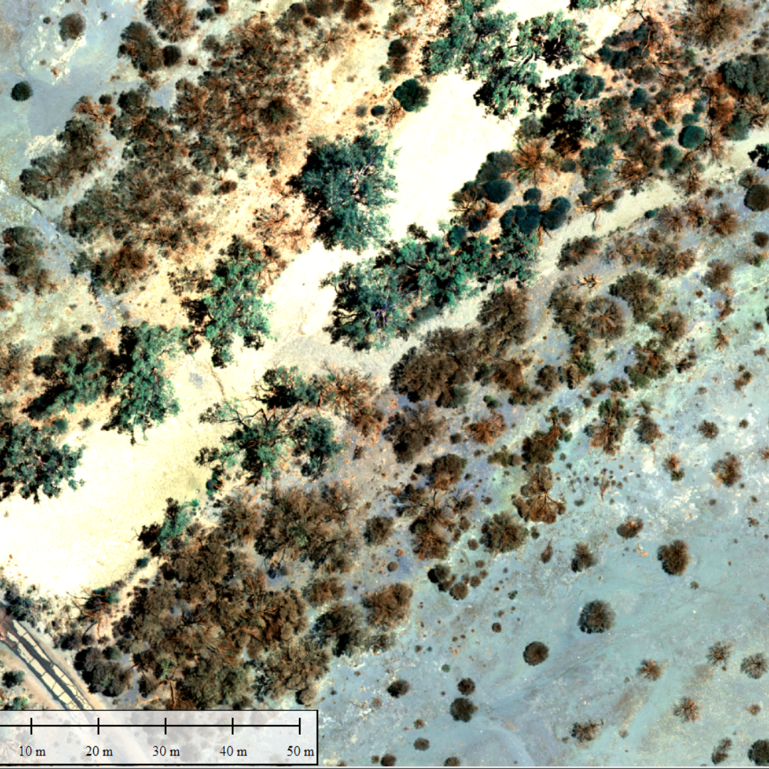
- 24 January 2023
- Kath Hockly
We’ve Broadened Our Aerial Surveying Capabilities
We have recently broadened our Aerial Surveying capabilities with the addition of a MicaSense RedEdge-P Multispectral Sensor to our suite of UAV payloads Multispectral sensors explore what the human eye cannot see and are used in agricultural and environmental situations for vegetation and crop analysis, ground cover calculations and health...
Full Article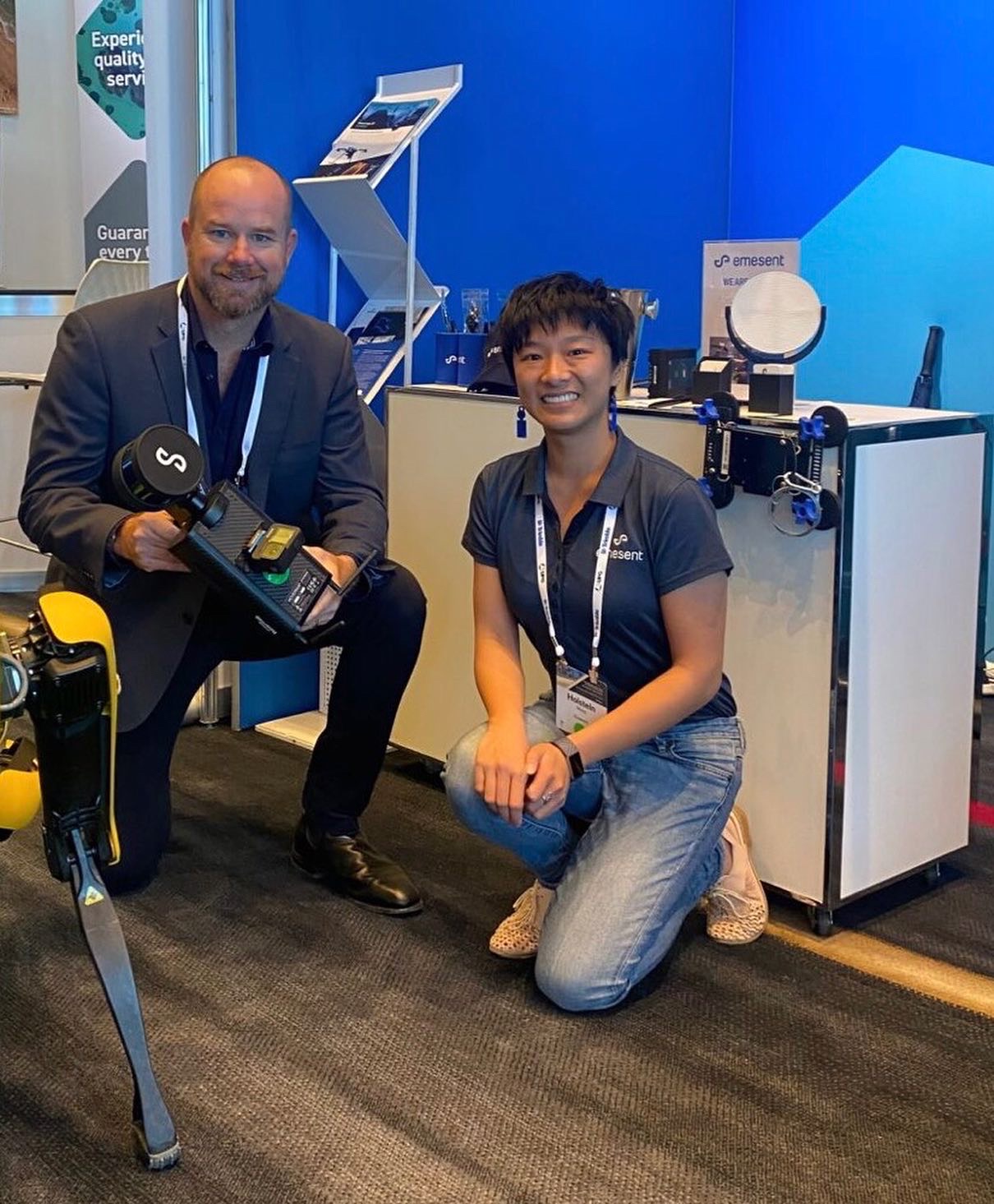
- 10 June 2022
- Kath Hockly
We are please to announce our new service offering!
Emesent have supplied a next generation Hovermap ST to Mine Survey Plus and we are ready to let loose this fantastic piece of kit on Australian mining and civil projects! The unit can be mounted to our DJI M300 drone for autonomous mapping, or vehicle/hand held for more intricate inspection of plant and...
Full Article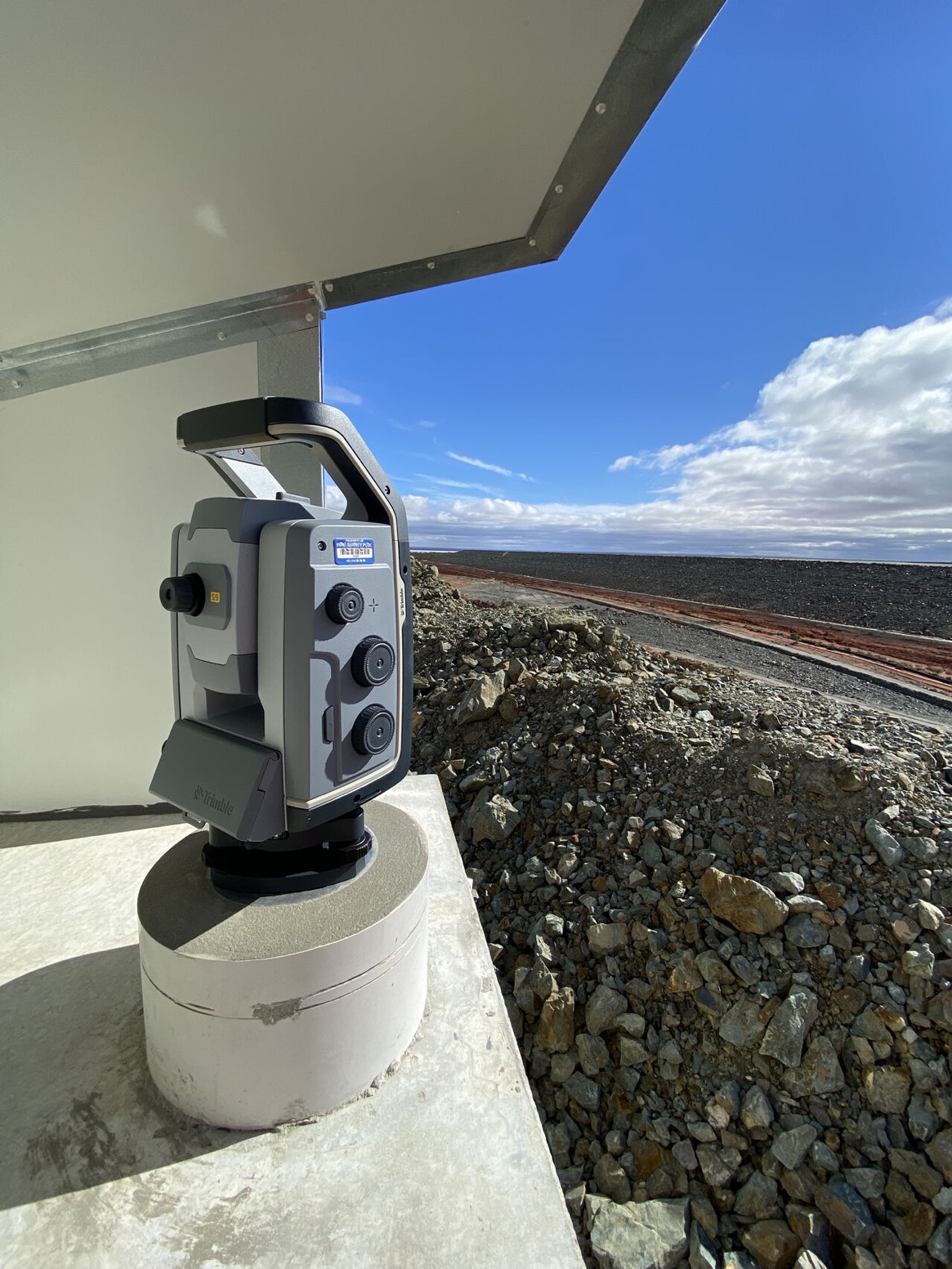
- 10 June 2022
- Kath Hockly
Our new monitoring pillar is up and running!
It is currently monitoring a Tailings Storage Facility every four hours as it collects baseline data before construction begins on a haul road early next month. We are running a Trimble Inc. S9 total station supplied by UPG (Ultimate Positioning Group) with an M1 SETTOP Survey control box and a custom pillar/solar arrangement. Data is streaming...
Full Article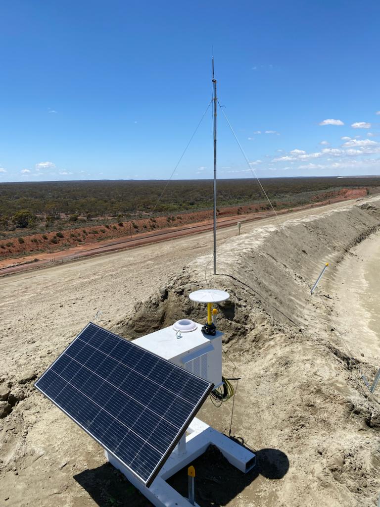
- 22 November 2021
- Kath Hockly
GNSS Base Station Creation
How did Mine Survey Plus get into providing high quality GNSS Base stations for long term, remote installations? First we asked Olympic cyclist Darryn Hill to customize our ex marine channel markers so we could mount a larger solar panel and move them with a fork lift. Then we asked the team...
Full Article