- 24 January 2023
- Kath Hockly
- Innovation
We have recently broadened our Aerial Surveying capabilities with the addition of a MicaSense RedEdge-P Multispectral Sensor to our suite of UAV payloads
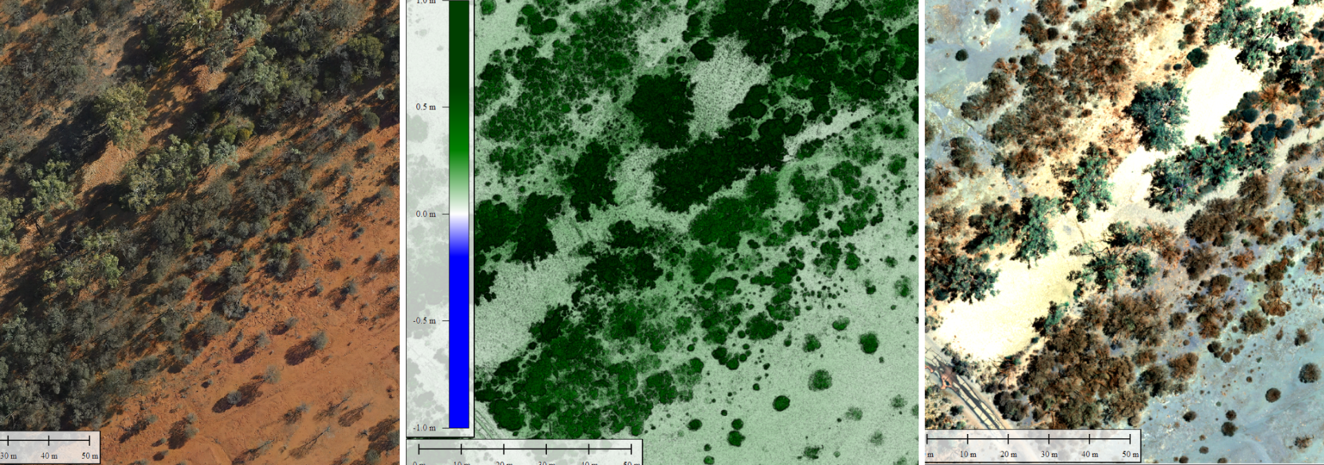
Multispectral sensors explore what the human eye cannot see and are used in agricultural and environmental situations for vegetation and crop analysis, ground cover calculations and health monitoring i.e. NDVI calculation.
The RedEdge-P compliments traditional RGB photogrammetry and LiDar options
The image above shows a comparison from standard imagery to multispectral to calculated vegetation index. Here you’ll notice the healthier vegetation has a high index value.
👉 Get in touch to discuss more about how Multispectral sensing can help you out.