Our Services

Technology Drives Us

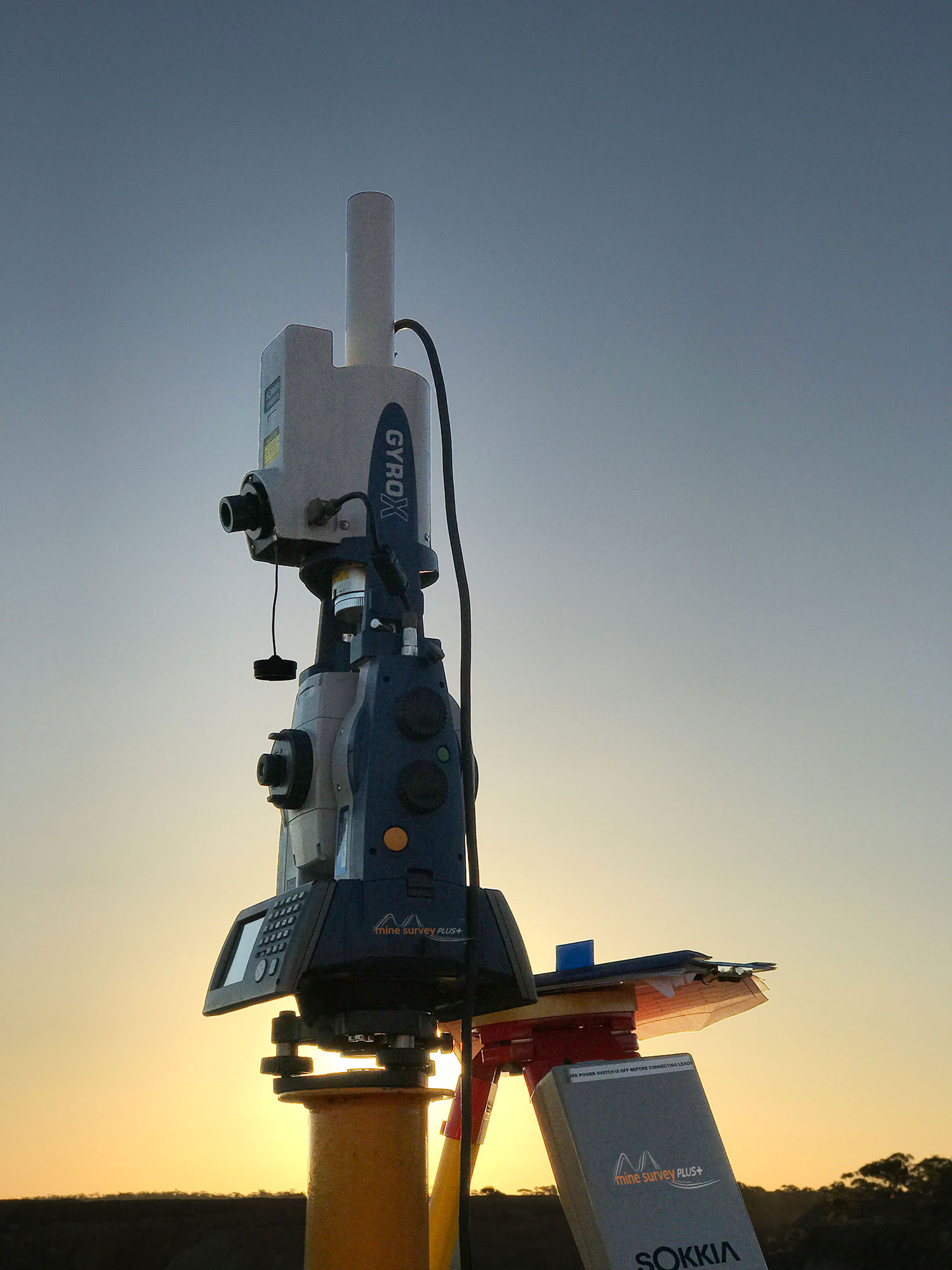
Mine Survey Plus have invested heavily in the the latest mine survey specific technology.

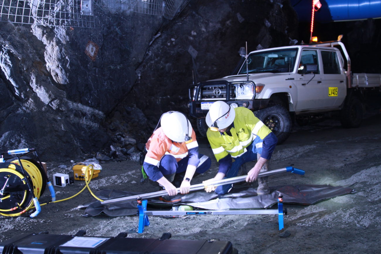
We own and operate a fleet of modern hardware to provide comprehensive mine surveying solutions to our clients, including but not limited to the following:
  • Robotic, single surveyor total stations for engineering works
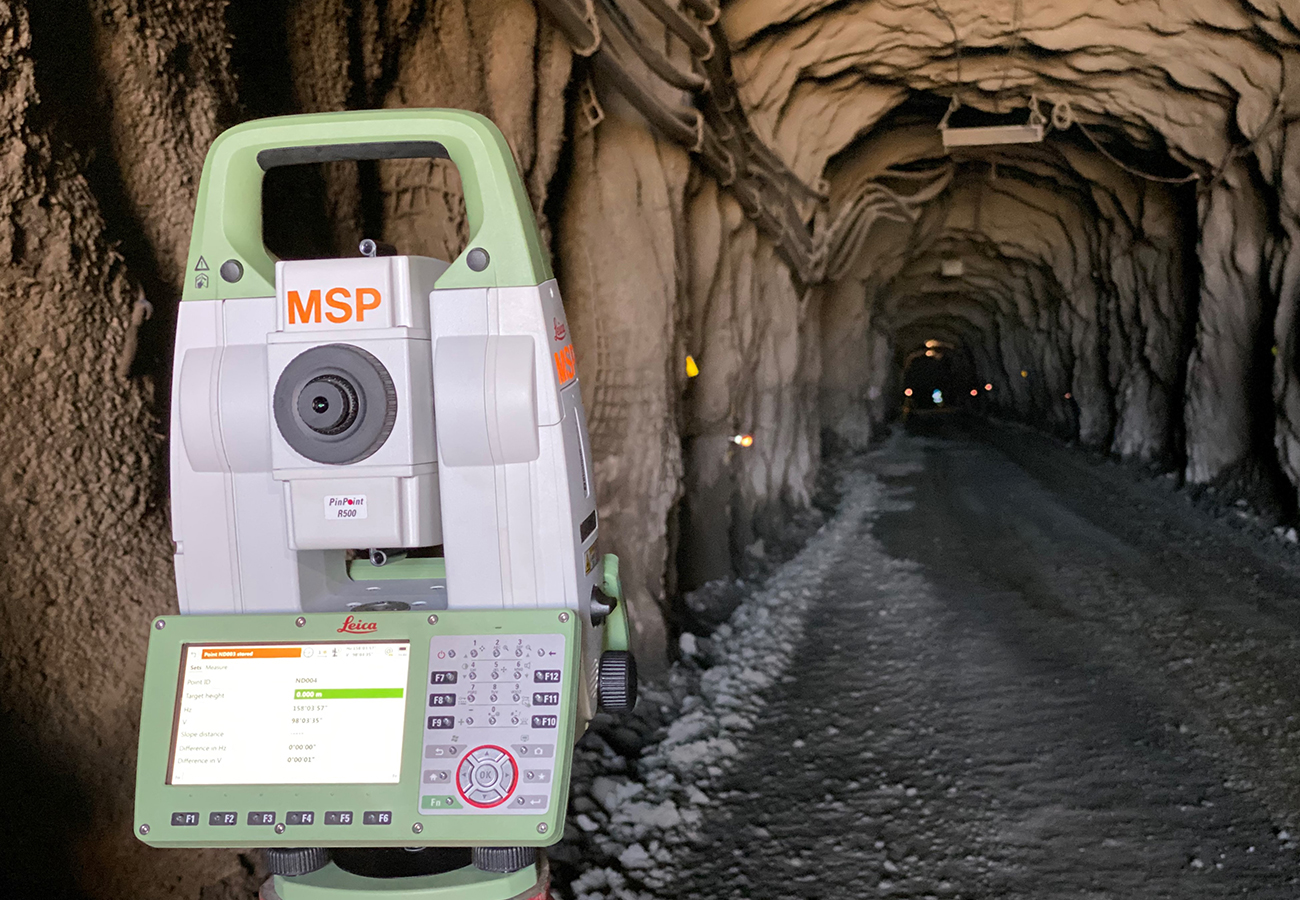
  • Underground specific total stations for rapid setting out and capture
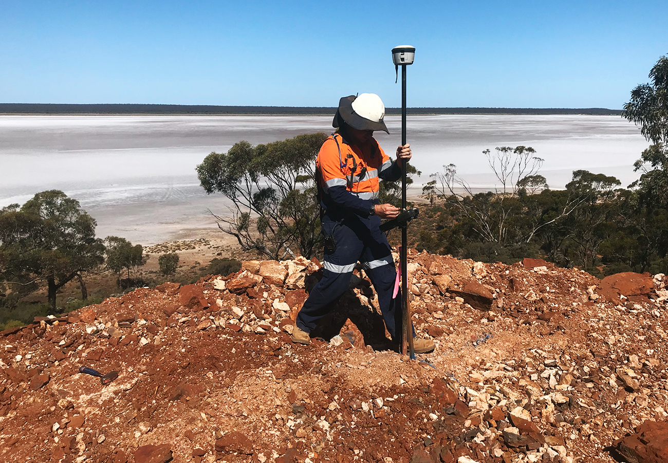
  • Multi-constellation GNSS receivers for large scale grid solutions and day to day survey works
  • Cavity Monitoring Systems for safety mapping underground stopes
  • Borehole C-ALS systems for production hole deviation and mapping inaccessible underground voids via boreholes
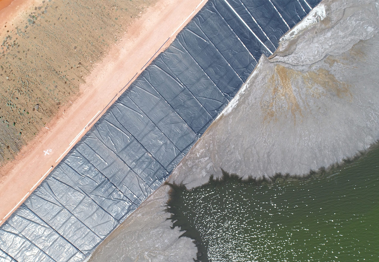
  • Aerial survey platforms for complete, safe, and fast data collection
  • Software for least square adjustment of resurveys and processing of static GNSS baselines.
For information on how we can assist with your project, please contact us with your specifications and requirements.

Borehole Laser Scanning

Our latest generation Carlson C-ALS Gyro Borehole-Deployable Laser Scanner is easily deployed downhole or uphole through boreholes and is capable of measuring the three-dimensional shape of inaccessible voids that traditional Cavity Monitoring Systems cannot safely access.

Learn More

Contract Mine Surveying

Mine Survey Plus is able to supply Mine Surveyors with a range of experience and qualifications to suit your requirements - from Authorised Western Australian Mine Surveyors through to graduates from the Western Australian School of Mines and TAFE. Short or long-term coverage at competitive rates.

Check Surveys & Mine Plans

The team at Mine Survey Plus has extensive experience delivering check surveys in busy mines to Department of Mines, Industry Regulation and Safety. Utilising Gyroscopic Theodolites, Least Square Adjustment and rigorous techniques our team ensure your resurvey meets your requirements.

Aerial Surveying

Our experience team of operators are survey qualified - meaning volumes derived from our aerial platforms are figures you can take to the bank! From aerial imagery to pit wall mapping, stockpile volumes and surface generation - our team have the experience to deliver for your project.